UN
13 Crundale Close
£ 211,000
Description
We don't have a Description for this property.
- Bedrooms
- 4
- Bathrooms
- 0
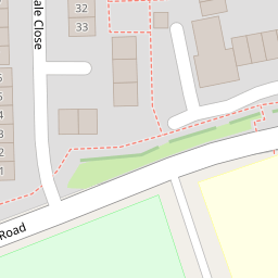
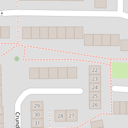
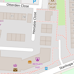
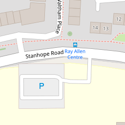
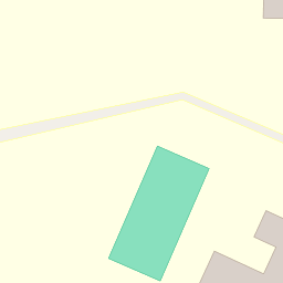

Leaflet © OpenStreetMap contributors
The heatmap indicates the level of crime in the area. The color of the heatmap indicates the crime severity and recency.
Metrics Year-on-Year
- Average area value
- 278,019.00 £Increased by 21.15 %
- Average area rental value
- 919.00 £/moDecreased by 8.01 %
- Est rental Yield
- 3.97 %Decreased by 23.95 %
- Crime Rate
- 26.00 %Unchanged by 0.00 %
from 229,480.00 £
from 999.00 £/mo
from 5.22 %
from 26.00 %
Nearby Schools
| Name | Type | Ofsted | Distance |
|---|---|---|---|
| Ray Allen Children'S Centre | Children's Centre | 0.30 KM | |
| The John Wallis Church Of England Academy | Academy Sponsor Led | Good | 0.42 KM |
| Beaver Green Primary School | Academy Sponsor Led | Good | 0.69 KM |
| The Willow Children'S Centre | Children's Centre | 0.85 KM | |
| St Simon Of England Roman Catholic Primary School, Ashford | Academy Converter | Good | 0.92 KM |
Images
Nearby Streets
| Name | Average Price | Average Sqft | Distance |
|---|---|---|---|
| St. Anne's Road | £ 295,000 | 0 | 0.00 KM |
| Summerhill | £ 0 | 0 | 0.00 KM |
| Cherry Gardens | £ 400,000 | 0 | 0.00 KM |
| St. Stephen's Walk | £ 375,000 | 0 | 0.00 KM |
| Knock Road | £ 290,000 | 0 | 0.00 KM |
Nearby Transport
| Name | NLC | TLC | Distance |
|---|---|---|---|
| Ashford International | 5004 | AFK | 2.78 KM |
| Ham Street | 5037 | HMT | 6.98 KM |
Nearby Listings
| Address | Price | Type | Score | Distance |
|---|---|---|---|---|
| Waltham Place, Ashford, Kent, TN23 | £ 160,000 | BUY | 5 / 10 | 0.13 KM |
| Luddenham Close, Ashford | £ 240,000 | BUY | Unknown | 0.14 KM |
| Luddenham Close, Ashford TN23 | £ 250,000 | BUY | 6 / 10 | 0.17 KM |
| Luddenham Close, Ashford, TN23 | £ 335,000 | BUY | Unknown | 0.17 KM |
| Lynsted Close, Ashford TN23 | £ 225,000 | BUY | Unknown | 0.17 KM |
Nearby Properties
| Address | Price | Distance |
|---|---|---|
| 35 Crundale Close | £ 270,000 | 0.00 KM |
| 20 Crundale Close | £ 129,000 | 0.00 KM |
| 37 Crundale Close | £ 160,000 | 0.00 KM |
| 13 Crundale Close | £ 211,000 | 0.00 KM |
| 25 Crundale Close | £ 32,500 | 0.00 KM |